Way2mining
Ariyalur District
Tamilnadu.
Mining has always been a dusty, boots-on-the-ground business. If you wanted to measure how much land you had dug up, or how high your waste dumps had grown, you’d send in surveyors with tripods, measuring tapes, and endless paperwork. Slow, expensive, and often a little imprecise.
Now picture this: a drone buzzing over the mine, clicking thousands of high-resolution images, and stitching them together into a 3D model. Suddenly, you can measure every pit, every dump, and even calculate how many truckloads of ore have been taken out. That’s the power of drone surveys—and in India, the government has made them mandatory for large mines.
So what’s the rule?
Back in 2017, the Mineral Conservation and Development Rules (MCDR) were updated with a new section: Rule 34A. This rule basically says—if your mine is producing more than one million tonnes a year, or if it spreads over fifty hectares or more, you can’t just rely on old-school surveying anymore. You must carry out a drone survey every summer, between April and May, and submit the results by July 1.
If your mine is smaller, you get a bit of leeway—you can use satellite imagery instead of flying a drone.
Think of it like filing taxes. Big companies have to submit audited accounts with all the details. Smaller businesses can go with a simpler return
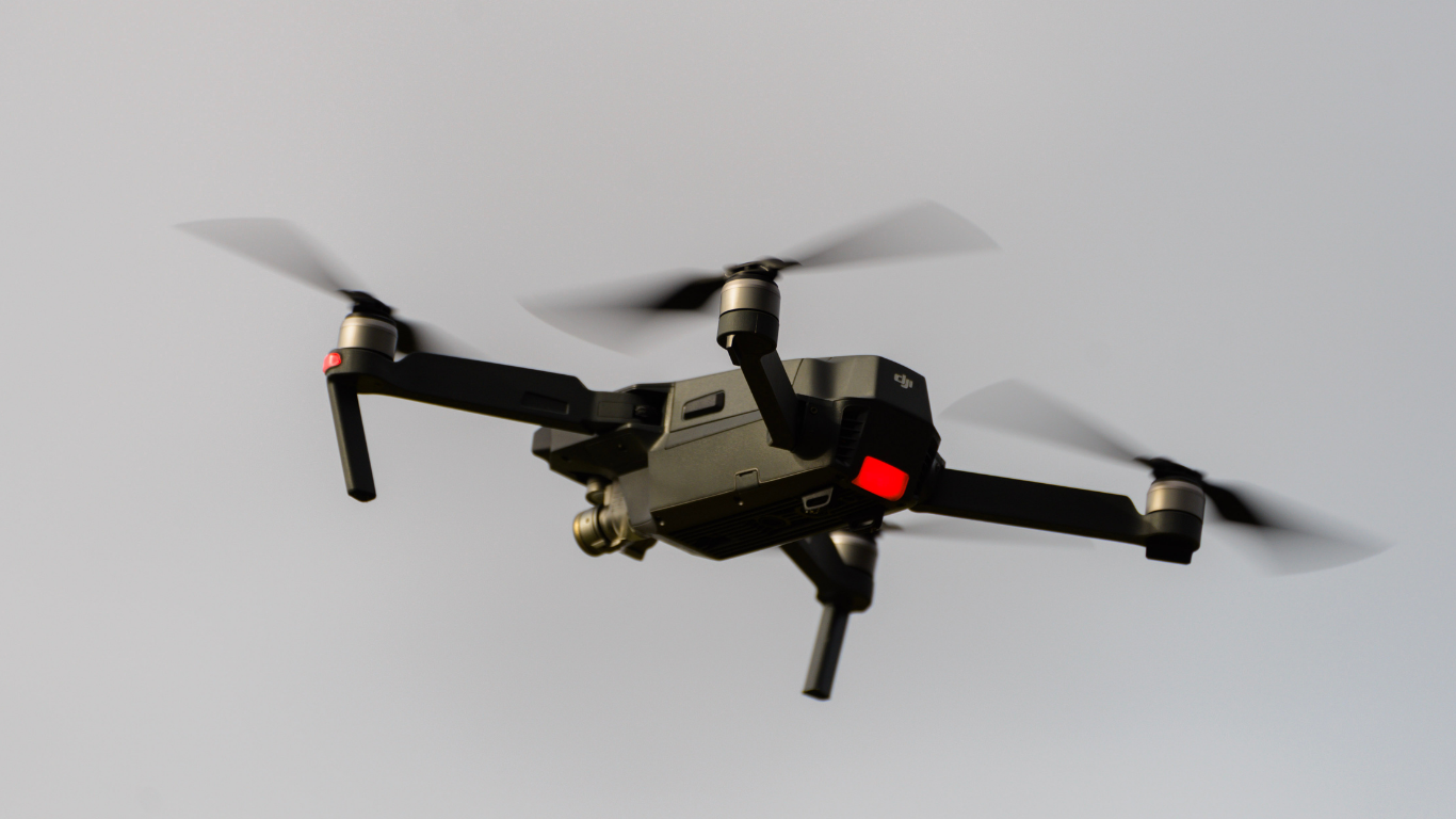
But this isn’t a hobbyist’s drone
You can’t just send your kid’s camera drone up in the sky and call it a day. The rules are surprisingly strict.
The drone must carry at least a 20-megapixel camera. Each pixel on the photo should represent no more than five centimeters on the ground. That’s how you make sure even small changes on the surface are captured—like a thin layer of overburden being removed or a narrow crack forming along a bench.
And you can’t just fly once and be done. Each photo has to overlap with the next one—80% in the front, 70% on the side—so that when the computer stitches the images together, there are no gaps. Think of it like clicking a panoramic photo on your phone—you need overlaps or the picture looks broken.
Anchoring it to the ground
Now here’s something many don’t realize. Aerial photos look great, but unless they’re tied to fixed points on the ground, they can’t be trusted for measurements. That’s why mines have to create what are called Ground Control Points, or GCPs.
Imagine painting big white X marks—each 50 by 50 centimeters—on solid ground across the mine site. The drone spots these, and surveyors record their exact GPS coordinates. When the images are stitched together, the software knows exactly where the drone was, down to a few centimeters.
The rule says at least five such points per square kilometer, and at least three of them must stay fixed for future surveys. It’s like leaving anchors in the ground so that next year’s survey lines up perfectly with this year’s.
And don’t forget the sky police
Even if you have the right drone and the right camera, you can’t just fly whenever you like. In India, drones are governed by the Directorate General of Civil Aviation (DGCA).
Every drone must be registered on the Digital Sky platform, and you need a unique identification number—sort of like an Aadhaar for drones. The person flying it must hold a Remote Pilot Certificate.
Then there’s the airspace map. Green zones? You can fly without extra approvals. Yellow or red zones? You’ll need special permission. So if your mine happens to be close to, say, Chennai airport, you can’t just send up drones whenever you like.
What happens after the survey?
Once the flying is done, the drone team has to process all the data. The output isn’t just pretty pictures—it’s heavy-duty files:
Orthomosaic maps that look like Google Earth but with centimeter-level clarity.
3D terrain models that can measure the exact depth of a pit or the volume of a stockpile.
Shapefiles marking the lease boundary, dumps, roads, and even the green belt you’ve planted.
And these files must be stored for at least five years—so that if regulators ever want to check your claims, the evidence is ready.
Why all this fuss?
Simple. Drones make it harder to hide.
Earlier, if a mine under-reported production or encroached beyond its lease, you’d only know after a long, tedious ground inspection. But with drones, the government can verify things quickly. In Maharashtra, for example, drones are already being used to spot illegal sand mining along rivers. The technology doesn’t just save time, it plugs revenue leaks and reduces environmental damage.
For the miner, it also has an upside—you get precise data for planning, you cut down on disputes about how much you actually mined, and you can even monitor safety by spotting unstable slopes before they fail.
The bottom line
Drone surveys in mining aren’t about showing off cool tech. They’re about accuracy, compliance, and accountability.
Think of it like switching from hand-written ledgers to GST software. Painful at first, but once you’re in, everything is faster, cleaner, and harder to fudge.
And as Indian mining pushes for more transparency, drones aren’t just buzzing toys in the sky—they’re watchdogs, auditors, and planners rolled into one.


Share This News